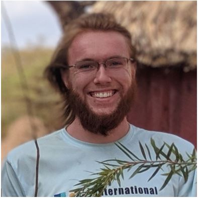
Gabriel Wilkins

Graduate student at the University of Wisconsin, Madison for Urban and Regional Planning
BAs in Geography and Environmental Studies, Philosophy
3+ years of experience with GIS applications (including QGIS, R, ENVI, ArcMap, and ArcGIS Online).
View My LinkedIn Profile
The Bahama Oriole Project
Fieldwork on Andros, The Bahamas - Summer 2019
Worked with the Omland Lab (UMBC Biology Department) for 5 weeks with other undergraduates to perform NSF funded research on the critically endangered Bahama Oriole.
Digitized the logging-road network for use in navigating the field site. Site was used for mist-netting and radio-tracking Bahama Orioles as well as setting camera traps and making observations at randomly selected points.
Continually updated map as new trails were made or found and new nest sites were discovered.
Made using QGIS 3.8 (with Bing Satellite).