Gabriel Wilkins

Graduate student at the University of Wisconsin, Madison for Urban and Regional Planning
BAs in Geography and Environmental Studies, Philosophy
3+ years of experience with GIS applications (including QGIS, R, ENVI, ArcMap, and ArcGIS Online).
View My LinkedIn Profile
Portfolio
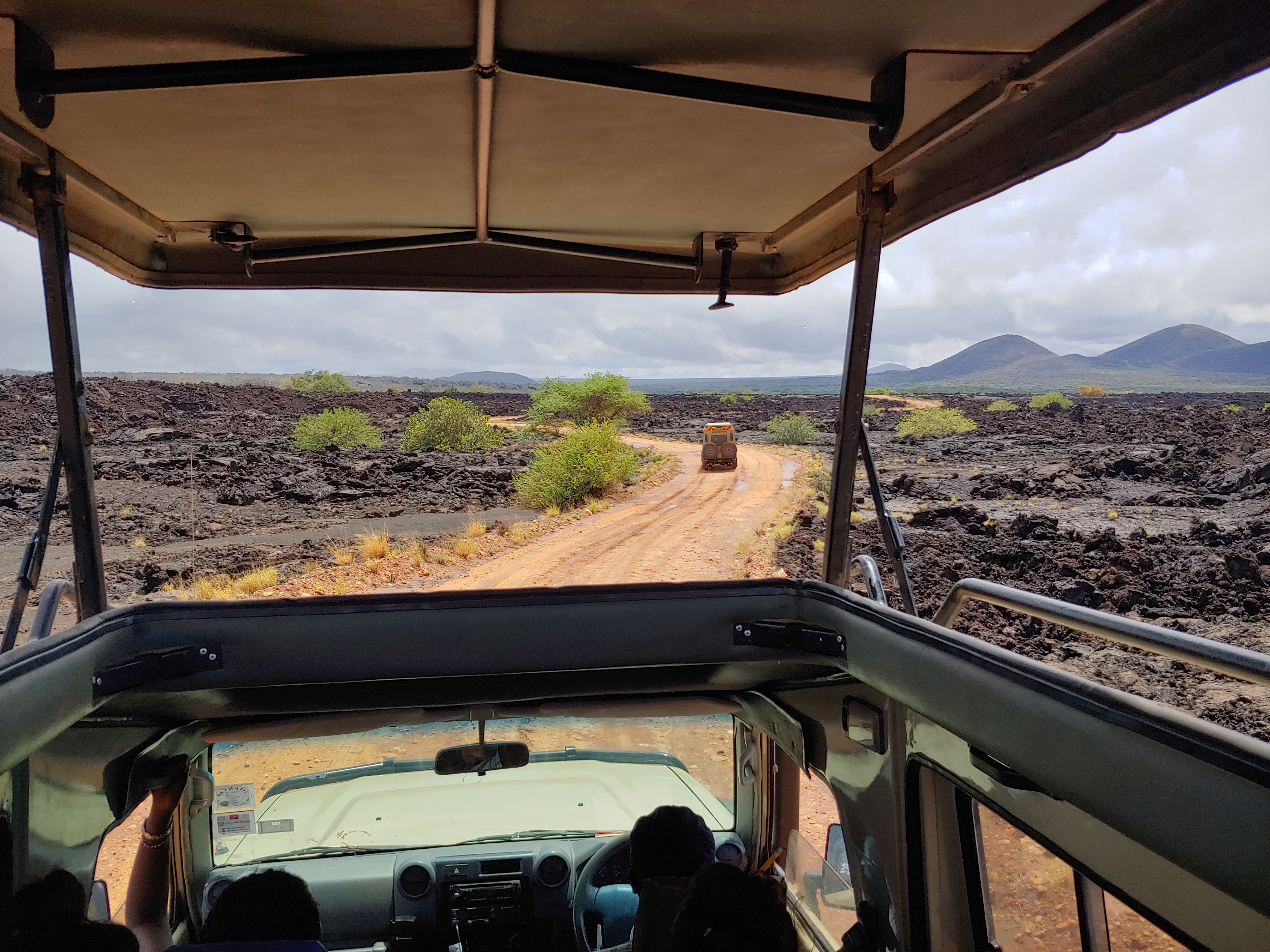
Decolonizing Conservation in East Africa
Investigating how colonialism, militarization, and activism interact in the contemporary conservation landscape.
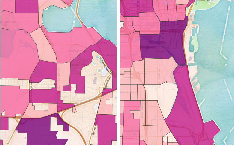
Comparing Madison and Milwaukee, Wisconsin
Comparing population, income, race, and enthinicty between two cities. Designed in QGIS and hosted on the web by Leaflet.
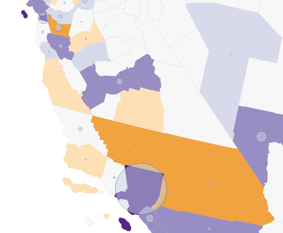
COVID-19 Related Twitter Activity in Late March, 2020
Compiled tweets mentioning COVID-19, as well as compared tweets mentioning markets to those mentioning workers.
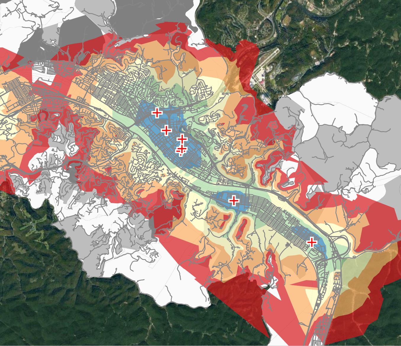
Health Services in West Virginia
Examined the access to health services in West Virginia, including an in-depth look at hospitals in Charleston.
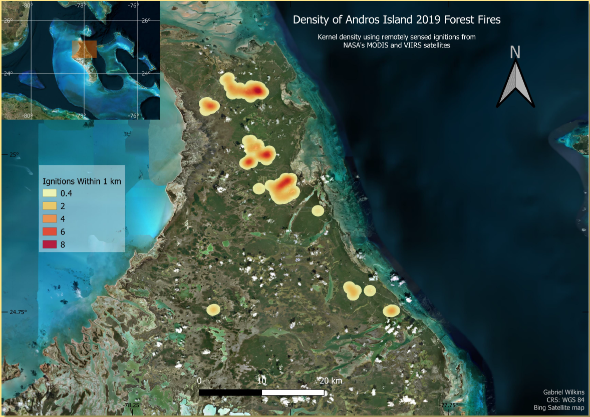
Undergraduate Research - Andros
Plotted spatial distribution of forest fires on Andros, and compared temporal distribution to annual climatic patterns.
Bahama Oriole Project Map
Developed and updated map used for in-field navigation, radio-tracking, and camera traps.
Study Abroad Research - Kenya
Conducted interviews on climate change perceptions and adaptations among rural households in Kenya
Median Housing Prices in Pittsburgh, PA
Map of median home sale price of Pittsburgh neighborhoods. Made on QGIS and hosted on Leaflet
Additional Projects
Page template forked from evanca